How to Get Around Stjohns Without a Car: A Resident's Guide to Metrobus

Most people moving to Stjohns assume they'll need a car immediately—that our hills, weather, and sprawl make public transit impractical. That assumption costs our community members thousands in vehicle payments, insurance, and parking before they've even explored what Metrobus actually offers. The reality? Thousands of Stjohns residents navigate their daily commutes, grocery runs, and social lives using the city's bus system—and many prefer it once they understand how the network actually works. This guide breaks down exactly how to make Metrobus work for your life in Stjohns, whether you're car-free by choice, necessity, or circumstance.
What routes should I know for daily life in Stjohns?
Metrobus operates fifteen routes across the Stjohns area, but you'll likely use the same three to five routes regularly once you learn the system. The Route 1 (MUN Express) connects Memorial University's St. John's campus to downtown—critical for students, faculty, and staff, but also useful for anyone heading to the university's gym, library, or events. Route 2 (University/Avalon Mall) links the Village Shopping Centre through the university district to the Avalon Mall, passing through the Churchill Square and Ropewalk Lane retail corridors.
For west end residents, Route 3 (Cowan Heights/Avalon Mall) serves the area from Thorburn Road through the Village Mall transfer hub, while Route 10 (Torbay Road) runs the length of one of Stjohns' busiest commercial streets. The Route 12 (Freshwater Road) provides crucial north-south connectivity through the centre of the city, passing by the Health Sciences Centre and several major apartment concentrations.
Here's what newcomers miss: Metrobus operates on a pulse system at the Village Mall and Avalon Mall transit terminals. Buses arrive and depart at coordinated times—typically :15 and :45 past the hour—which means transfers are designed to work. If you're taking Route 3 to the Village Mall and need to catch Route 10, you'll usually have a five to ten minute window. Grab a coffee at the nearby Tim Hortons (yes, the one actually inside the mall near the transit entrance) or check your messages—this isn't a frantic dash between platforms like larger cities.
Download the Metrobus website's system map and route schedules, or use the Metrobus Transit app for real-time tracking. The app's GPS tracking is surprisingly accurate—even in winter storms, you'll know if your bus is running ten minutes behind because of conditions on Kenmount Road or Freshwater Road.
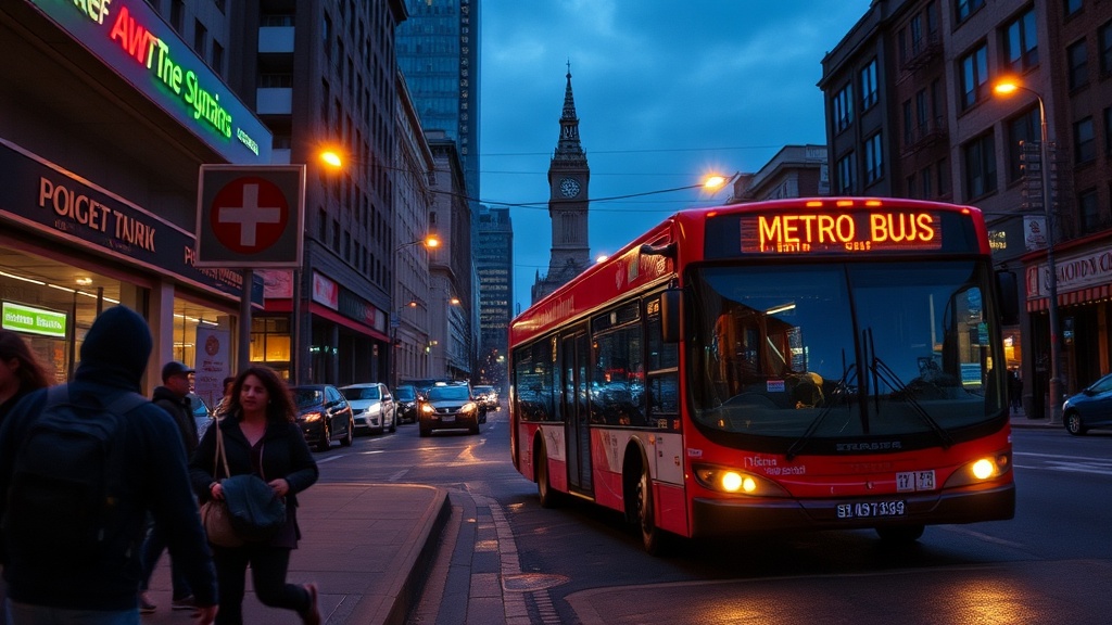
How much does it cost to ride Metrobus in Stjohns?
Metrobus uses a straightforward fare structure that rewards planning ahead. A single cash fare costs $2.75—exact change required, which catches visitors off-guard. But here's where Stjohns residents save money: multi-ride tickets and monthly passes drop the per-ride cost significantly.
A sheet of ten tickets costs $22.50 ($2.25 per ride), available at most convenience stores throughout Stjohns including Circle K locations and several pharmacies. Monthly passes run $78 for adults, $62 for seniors and post-secondary students, and $58 for youth. If you ride more than thirty-five times per month, the pass pays for itself. Many employers in downtown Stjohns—including several provincial government departments and major employers along Water Street—offer payroll deduction programs for monthly passes, making the cost even less noticeable.
Children under five ride free with a fare-paying adult. And here's a pro tip many locals don't know: Metrobus offers free transfers within ninety minutes of your initial boarding. Pay your fare, request a transfer slip from the driver, and you can connect to another route without paying again. This makes multi-leg trips across Stjohns genuinely affordable—downtown to the Village Mall to Kelsey Drive for one fare.
The City of St. John's transportation page maintains updated fare information and lists all ticket retail locations. Check there before your first ride—fares occasionally adjust with municipal budgets.
What about winter? Can you actually rely on Metrobus when the snow hits?
This is the question every Stjohns resident asks before committing to car-free life—and it's fair. Our winters don't mess around. But Metrobus has improved dramatically over the past decade, and the system generally maintains service through weather that would shut down transit in larger cities.
The key is managing expectations and building buffer time. When Environment Canada issues winter storm warnings for the Stjohns area, Metrobus typically switches to snow plans—reduced frequency but maintained coverage on core routes. Routes 1, 2, 3, 10, and 14 usually run even in significant weather. The hills around the city—particularly routes serving Shea Heights, Pleasantville, and parts of the Battery—may see temporary suspensions during extreme ice events, but these are announced through the Metrobus Twitter account and mobile app.
Experienced winter riders dress for the wait. Bus shelters exist at major stops—particularly along major corridors like Topsail Road, Kenmount Road, and Freshwater Road—but not at every stop. Carry a small umbrella for sideways snow, wear boots with actual grip (our freeze-thaw cycles create ice patches that laugh at dress shoes), and check the app before leaving your building. If your bus is delayed twenty minutes, there's no point standing in a blizzard when you could wait in your lobby.
The Memorial University campus represents an interesting winter case study—so many students and staff rely on Metrobus that the university maintains close coordination with transit operations. When university classes are cancelled due to weather, Metrobus adjusts university route frequencies accordingly. This symbiotic relationship keeps the system responsive to actual demand.
Where does Metrobus actually go in Stjohns?
Beyond the obvious university and mall connections, Metrobus reaches surprising corners of our community. Route 14 (Topsail Road) extends past Kelsey Drive through Paradise, connecting suburban residents to Stjohns proper. Route 15 (Buchanan Street/West End) serves the industrial parks along Kenmount Road—crucial for workers in those areas who don't drive.
For healthcare access, multiple routes converge on the Health Sciences Centre on Freshwater Road. The Route 12 passes directly by the main entrance, while Route 3 stops nearby on Clinch Avenue. This matters—medical appointments shouldn't require owning a vehicle, and Metrobus ensures they don't for most Stjohns residents.
Recreation and culture are accessible too. Route 10 passes Bowring Park—get off at the Waterford Bridge Road stop for easy park access. The Rooms, our provincial art gallery and museum, sits on Route 12 (Bonaventure Avenue stop) and Route 3 (Military Road stop). The Newfoundland and Labrador Public Libraries main branch on Hamilton Avenue is served by multiple downtown routes.
Grocery access varies by neighbourhood. Major supermarkets near Metrobus stops include the Dominion on Elizabeth Avenue (Routes 1, 2, 3), the Sobeys on Merrymeeting Road (Route 10), and the No Frills on Topsail Road (Route 14). If you're car-free and apartment-hunting in Stjohns, check which routes serve your potential neighbourhood—walking distance to a frequent route significantly improves quality of life.
What accessibility options exist on Stjohns transit?
Metrobus operates a fully accessible fleet—all buses are low-floor with ramps, and priority seating accommodates mobility devices. The bus fleet includes kneeling features that lower the entrance for easier boarding. Drivers are trained to assist passengers with disabilities, though they cannot provide physical lifting.
For riders whose disabilities prevent conventional bus use, Metrobus operates Metrobus Access—an accessible, door-to-door service for eligible residents. Applications require medical verification, but once approved, users book rides in advance for any purpose within the service area. Fares match regular Metrobus rates. This service fills crucial gaps for Stjohns residents who would otherwise be isolated, particularly seniors and those with mobility limitations living in areas without frequent conventional service.
Stops with concrete pads and shelters are prioritized for accessibility upgrades, though not all stops feature full amenities yet. The city maintains a priority list based on ridership data and resident requests—if your regular stop needs improvements, contact Metrobus customer service. They're more responsive than most municipal services, partly because transit usage data drives budget decisions.
How do I plan multi-stop trips efficiently?
Successful Metrobus use in Stjohns requires understanding transfer points and timing. The two major terminals—Village Mall and Avalon Mall—serve as the system's heart. Most routes pass through one or both, making them natural transfer points for cross-city travel.
But experienced riders also know secondary transfer points. The intersection of Freshwater Road and Lemarchant Road sees multiple routes cross without requiring terminal visits. The Churchill Square area connects Routes 2, 3, and 10. Mapping your regular destinations against these intersections reveals trip combinations that Google's transit planner might miss.
Weekend service runs less frequently—typically every thirty to sixty minutes depending on the route—so planning matters more on Saturdays and Sundays. The last buses typically depart downtown around 11:15 PM on weekdays and earlier on weekends, which shapes nightlife decisions for car-free residents. That said, Stjohns' compact downtown means many evening destinations remain walkable from bus routes if you don't mind our hills.
Consider the GoBus On-Demand service for areas conventional routes don't reach efficiently. This pilot service operates in parts of Stjohns outside the core route network—book through the app, and a smaller vehicle picks you up at a designated stop. It's not door-to-door like Access, but it extends transit reach into neighbourhoods like Goulds and parts of Kilbride that would otherwise require lengthy walks to fixed routes.